Grosse Corde (west)
4 points of interest
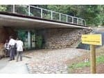
barrière - PNG  Information board
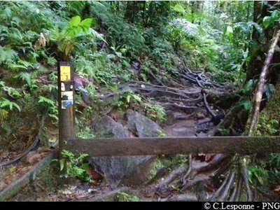
Gate
When you arrive at the gate, go round it to the left and follow the yellow markings on the path (don't turn towards the right along the river).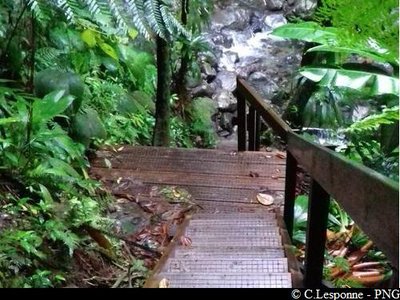
PNG  Information board
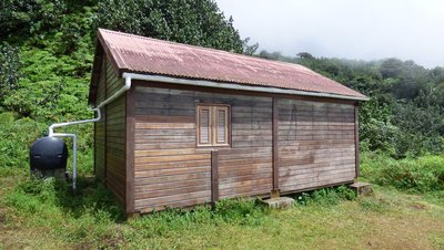
Steps
Steps making it easy to walk in the forest.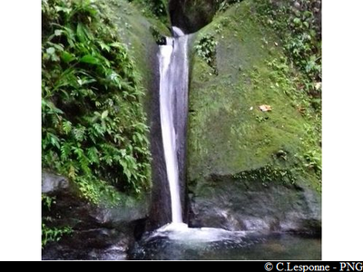
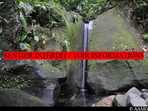
Petite cascade - PNG  River and waterfall
Little waterfall
A small waterfall on the left bank of the Rivière Grosse Corde with a little pool below it.
 Area of relaxation
Warm pool
A warm pool on the Rivière Grosse Corde (western side) that is very popular with locals and hikers.
Description
At the bend before the Rivière Grosse Corde bridge, take the path into the forest heading west. Go past the steps and you arrive at the old gate. Make sure you go to the left and then continue in the forest. The warm pool is near the little waterfall. Take a break here, then come back the same way to the car park.
- Departure : Just before the bridge over the River Grosse Corde
- Arrival : Just before the bridge over the River Grosse Corde
- Towns crossed : Capesterre-Belle-Eau
Altimetric profile
Recommandations
Caution: River crossings. The route can be dangerous in wet conditions. Do not attempt it if it has rained the day before or if bad weather is forecast. If the water level rises, do not attempt to cross the river; wait until it recedes.
---
In this natural setting, you should be particularly careful and alert, since Guadeloupe is subject to natural risks. It is vital to act in a responsible way, so that everyone can enjoy the hike!
Please note: unsupervised car parks and swimming.
Information desks
Reception area of Les Chutes du Carbet
terminus de la RD4 , route de l'Habituée, 97130 Capesterre-Belle-Eau
Opening hours : daily from 7.00 am to 5.00 pm.
Services : reception centre, shop, toilets, parking, picnic area.
In exchange for the services provided on the site, a financial contribution is requested to visitors (prices 06/2025 to 05/2028) :
- Adults : 6,00 € / pers.
- Children (- 12 years) : 4,00 € / pers.
- Families (5 pers. ; 1 or 2 adults + 1 or 4 children) : 14,50 €
- Groups adults (from 8 pers.) : 4,50 € / pers.
- Groups children (from 8 pers.) : 2,50€ / pers.
- One-year access card : 16,50 € / pers.
The promontory of the reception area is accessible to people with reduced mobility.
GPS location : Lat: 16,04198° N - Lng: 61,63822° W.
Access and parking
GPS starting point: Lat: 16,03700°N - Long: 61,63862°W.
---
On the RN1 road, from Saint-Sauveur (between Bananier and the town of Capesterre-Belle-Eau), turn towards the Carbet Falls. Continue along the D4 road. The road is steep and winding in the forest. Go past the Grand Etang car park, carry on and go past the little bridge over the Tonnelle Ravine. Continue until you get to a descent with bamboo trees on the right-hand side (before arriving at the Rivière Grosse Corde bridge). Park here.
Parking :
Source
Report a problem or an error
If you have found an error on this page or if you have noticed any problems during your hike, please report them to us here:

