Gaschet path
A wide-open, rustic site, ideal for getting away from it all.
5 points of interest
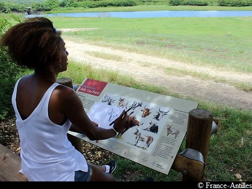
Panneau d'information Gaschet - France-Antilles  Information board
Introduction panel
A presentation of the Gaschet site.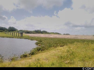
Ouvrage hydraulique menacé par linvasion de la plante - CD971  Flora
FloraWater hyacinths
The water hyacinth (Eichhornia crassipes) is an aquatic plant listed as one of the worst invasive species by the International Union for Conservation of Nature (IUCN). Its proliferation is a potential source of environmental, economic, social and even health hazards in the environments where it forms colonies.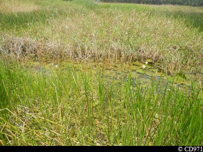
Joncs et nénuphars - CD971 FloraPond with bulrushes
Herbaceous plants thrive in this wet environment.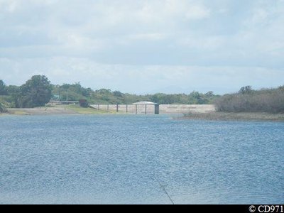
Barrage de Gaschet - CD971  Viewpoint
View of the dam
The dam was built to maintain the reservoir.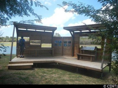
Observatoire ornithologique - CD971 ViewpointBird observatory
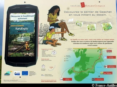
At this bird-observation point there are also drawing lessons for beginners.
Description
Starting at the site's information panel, follow the path winding its way between the various rest places (karbays, benches, nature-drawing spots) all the way to the bird reserve.
You go back to the starting point the same way.
---
"Hiking Sketch" nature drawing activity and "Karu Explo" digital treasure hunt (smartphone application) on the site.
- Departure : Near the site's information panel.
- Arrival : Near the site's information panel.
- Towns crossed : Port-Louis
Altimetric profile
Recommandations
No bathing.
A bylaw prohibits hunting and protects wild animals on the site.
Please respect the signs reminding visitors about the regulations on the site.
NB: unsupervised car park.
Information desks

2 rue Gambetta, 97117 Port-Louis
Access and parking
GPS starting point: Lat: 16,422310°N - Long: 61,483441°W.
---
Access to the site is in Port-Louis by the RD n°128 road; access is indicated near the bridge spanning the Gaschet lake.
Parking :
Source
Report a problem or an error
If you have found an error on this page or if you have noticed any problems during your hike, please report them to us here: