Merwart
Petit-Bourg
Merwart
Difficult
3h30
6,6km
+753m
-8m
Cross
PR (short hike network)
Embed this item to access it offline
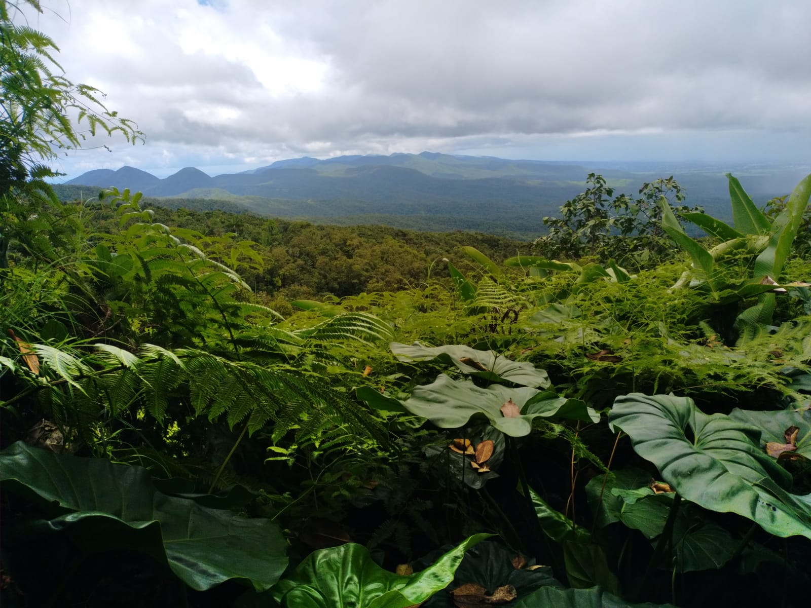
The trail is named after the temporary governor Emile MERWART and was created by the Club des Montagnards in 1917. It provides a total immersion in the tropical forest for hikers ready to venture into it.
3 points of interest
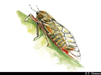
cigale - F.Hemery  Fauna
FaunaCicada
The cicada first appeared in Guadeloupe in the 1990s, then spread over all the region. It serenades the forest with its high-pitched chant.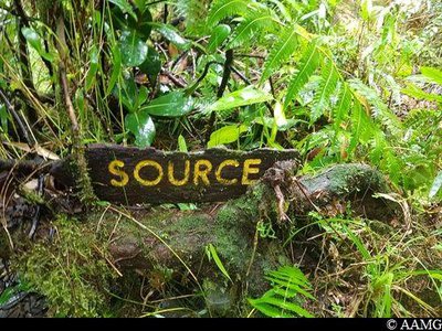
source - AAMG  River and waterfall
Source
As you go deeper into the vegetation on the left (as you make your way upwards), you will see a stream through the mountain mangrove trees.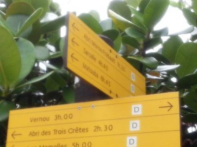
intersection - AAMG  Information board
crossroads Merwart / GR
It is important at this stage to make the right decision : turn back if strength is lacking, or venture a little further to reach a new destination.
Description
Set off on the trail following the yellow markings.
The trail is uphill non-stop; after about 2 km you arrive at the edge of the National Park (point 1).
Continue straight ahead as far as the crossroads marked "Refuge Frébault", "Victor Hugues", "Trois Crêtes".
You can then opt to continue along other trails, towards the south-east (Frébault refuge) or to the west (Trois Crêtes refuge).
- Departure : Allée Merwart, Vernou, Petit-Bourg
- Arrival : Meeting point with the Merwart trail - Alizés trail
- Towns crossed : Petit-Bourg
Altimetric profile
Recommandations
Don't set off after 1 pm without lights.
Ask a mountain guide to go with you if possible.
Don't touch the belongings you might find in the hunters' shelter.
---
In this natural setting, you should be particularly careful and alert, especially since Guadeloupe is subject to natural risks. It is vital to act in a responsible way, so that everyone can enjoy the hike!
Please note: unsupervised car park.
Is in the midst of the park
The national park is an unrestricted natural area but subjected to regulations which must be known by all visitors.
Information desks

au C.R.E.P.S. des Antilles Guyane ; Route des Abymes - BP 220, 97182 Les Abymes cedex

le bourg, 97126 Deshaies
Access and parking
GPS starting point: Lat : 16.16667°N - Long: 61.66410°W.
---
Take the Route de la Traversée. At the Barbotteau roundabout, follow the signs to Vernou. Continue until you arrive at a 90° bend, turn right and carry on along the Chemin de la Glacière all the way to the end, at the end of Allée Merwart.
---
Take the Route de la Traversée. At the Barbotteau roundabout, follow the signs to Vernou. Continue until you arrive at a 90° bend, turn right and carry on along the Chemin de la Glacière all the way to the end, at the end of Allée Merwart.
Parking :
At the end of Allée Merwart.
Source
Rando Guadeloupehttps://www.randoguadeloupe.gp/
Report a problem or an error
If you have found an error on this page or if you have noticed any problems during your hike, please report them to us here: