Vieux Fort trail
The hiker's senses are constantly kept alert by the range and variety of scenery which occurs on this trail.
8 points of interest
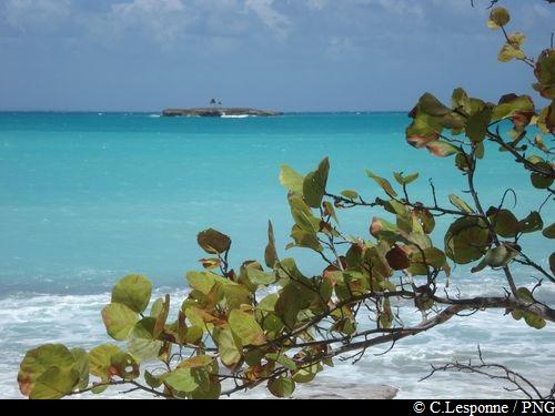
Vue sur la plage de Moustique - F.Frederic - CD 971  Viewpoint
Moustique Beach
From the undergrowth : view over Moustique beach.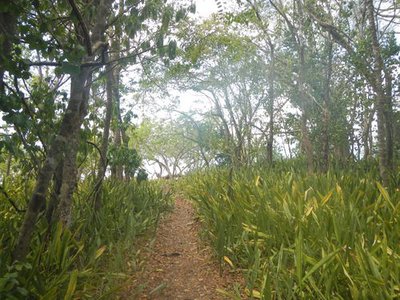
Parterre d'agaves Senseveria "Langue de chat" - F.Frederic - CD 971  Flora
FloraAgaves
Grove of agaves Senseviera 'mother-in-law's tongue'.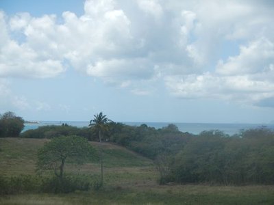
Vue sur le port de Folle Anse et les Saintes - F.Frederic - CD 971 ViewpointFolle Anse
View of the port of Folle Anse with the Saintes in the background.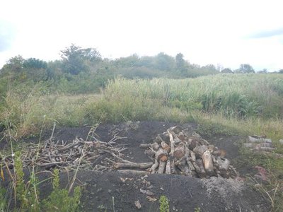
Trou à charbon - F.Frederic - CD 971  Agricultural landscape
Coal hole.
Coal hole (oven).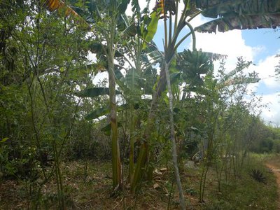
Jardin créole - F.Frederic - CD 971 Agricultural landscapeCreole Garden
Here you can see plant species that testify to human presence here.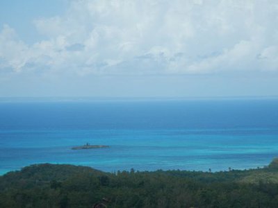
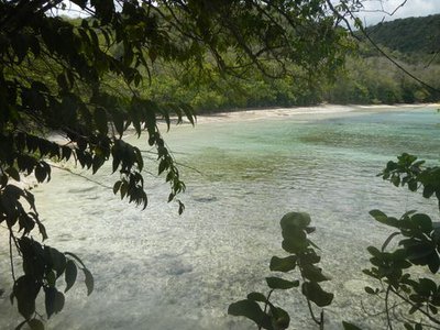
Ilet de Vieux Fort - F.Frederic - CD 971 ViewpointVieux Fort islet
At the top of the climb up the Merlet road: there is a beautiful view of Vieux Fort islet and Grande-Terre.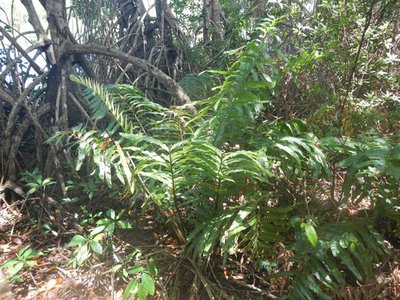
Fougère dorée - F.Frederic - CD 971 FloraGolden leatherfern
Acrostichum aureum, Golden leatherfern.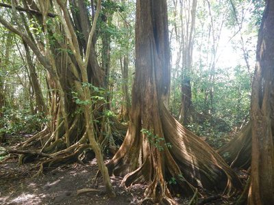
Pterocarpus officinalis - F.Frederic - CD 971 FloraDragonsblood tree
Pterocarpus officinalis, Dragon's Blood.
Description
Pass behind the cabin at the edge of the beach (Point 1) and continue along the shady trail which crosses the Pointe du Mays, then continues along a canefield.
Reach the D205; fork right and go along Moustique beach as far as the Pointe du Cimetière.
Take the trail on the left, beside the Frais, and reach a fork in the path.
Follow the trail on the right along the coastline and passing through the agaves (Point 2).
Come to a ravine and ascend it, in the shade of the trees. Leaving the Trou Massacre on the right, take a grassy path on the left across pastures to rejoin the road; follow it to the left for 100 m.
Turn right at the bend on a stony path (Point 3). At the fork, take the path on the left which climbs through shrubs. Reach the summit, on a grazing area (in clear weather, viewpoint over the whole of Guadeloupe). Continue to the Merlet road; walk along it (metalled path) for 600 m (vewpoint over Anse Vieux Fort and its islet).
Carry on, taking a grassy path to the right (Point 4). At the quarry, follow the path on the left which descends slightly and joins the D205. Turn right for 250 m.
Turn left (Point 5) on a grassy path leading toward the mangroves of Vieux Fort (note the red mangrove with their stilt roots and the dragonsblood trees with their wide buttress roots; but be careful as this is a flood zone). At the end, cross a road, then go to the left along the Vieux Fort beach, for 150 m. Behind the small building at the foot of the hill, take the trail which mounts to the Point Fleur d'Epée, then goes back down to the Anse Canot.
- Departure : Anse Canot beach
- Arrival : Anse Canot beach
- Towns crossed : Saint-Louis
Altimetric profile
Recommandations
Beware of the manchineel trees near the sea (every part is poisonous).
Please note: the parking and swimming areas are not supervised.
Information desks

rue Pierre Leroy, ancien Palais de justice, 97112 Grand-Bourg (Marie-Galante)
Access and parking
Starting point : Lat : 15,981549 N - Long : 61,305473 W.
---
At Saint-Louis: head north on the RD205.
Pass Moustique beach and the Anse de Mays, then turn left towards Vieux Fort.
Take the first on the left to arrive at the beach of Anse Canot, the starting point of the hike.
Source
Report a problem or an error
If you have found an error on this page or if you have noticed any problems during your hike, please report them to us here: